Tag: mapping
-

Tuning into the Musician Seamounts
During their 2015 Hohonu Moana expedition, the NOAA Ship Okeanos Explorer discovered and mapped an unnamed seamount in the Central Pacific Ocean Basin (shown in the image above). The ship and scientists are now returning to this region, “Musician Seamounts”, to conduct additional mapping and remotely operated vehicle (ROV) operations over two consecutive cruises. These…
-
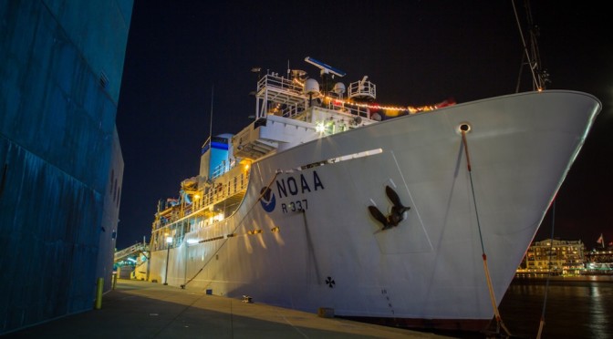
NOAA Ship Okeanos Explorer Overview
The National Oceanic and Atmospheric Administration (NOAA) has a world-class research and exploration vessel called the Okeanos Explorer. She’s a beautiful ship with some brand-new gear to send us high-def video and audio from the bottom of the ocean.